
"Travel the Past - Explore the Future"
 Idaho Public Television Website
 Like us on Facebook
 Forward link to a friend.
Questions? Call us at 208-869-6832
"Travel the Past - Explore the Future" | |
Idaho Public Television Website Like us on Facebook Forward link to a friend.
Questions? Call us at 208-869-6832 |
The Snake River Canyon Scenic Byway is celebrating 20 years of recognizing the beauty of the Snake River Canyon
and
the value of agriculture in our valley. We invite you to take the byway and view a scenic treasure you will never forget!
|
|
|
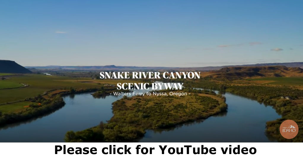
The Snake River Canyon Scenic Byway is a rich tapestry of places, people, and scenic lands that encompasses all that is truly Idaho. Dating back nearly 4.5 million years, the rich agricultural land found today along the byway was born of fire when volcanoes dominated the land. Nearly 15,000 years ago water reshaped the land during the Bonneville Flood, one of the largest floods in geologic history. Over the millenniums, nature continued to define the land, creating a unique ecosystem of wildlife and plants that are found only in southwestern Idaho. The Snake River Canyon Scenic Byway spans more than fifty miles. To drive the byway is to share the same visual experience the early pioneers observed when they arrived to create a new life in the sagebrush-covered valley. Today’s rich agricultural lands and the vibrant cities found along the byway are the legacy passed down to us by those early Idaho pioneers, a living legacy for all of us to discover, enjoy, and to offer to our children as we drive a truly “southwestern” Idaho roadway. |
|
Snake River Canyon Scenic Byway Location Length Scenic Roadway When to see the Byway Special Attractions Camping on the Byway Services |